Photo Friday, er, Saturday: Scotland's John O'Groats Trail, Part I
Oh, yeah. I was going to do the whole 5 days in one post. Now that I've stopped laughing at my silly delusions, I'll share photos from the first 2 days, which is as much as I can even get through at a skim, just picking and editing the photos I want to use. Editing photos from nearly 2 months of hiking is a huge task! In fact, I couldn't even get this small post done in time.
What is the JOGT? It's more of a route than a trail in some places, and runs along the coast of Scotland from Inverness to John O'Groats at the far NE tip of the mainland. It normally takes about 14 days, in stages running from about 8 to 15 miles. Don't let the lack of elevation gain fool you, either: with a rough and often overgrown track, those are long, hard days.
We didn't have two weeks, and the southern parts of the trail didn't seem as interesting, so we started 2/3 of the way up, with what is officially the 10th stage.
Day 1: Dunbeath Harbour to Lybster
 |
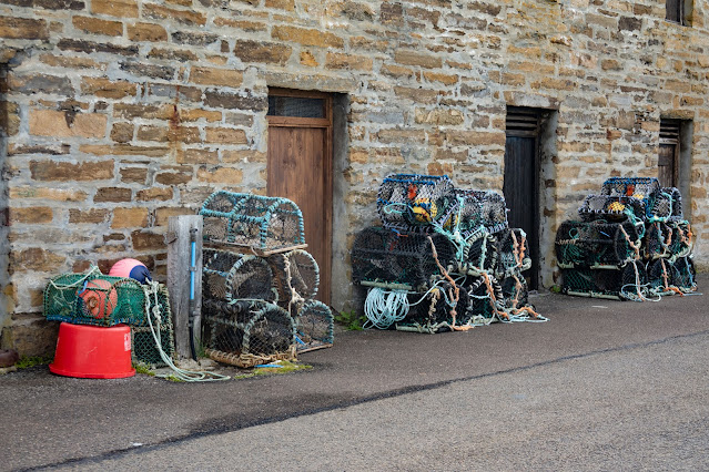
| Lobster or crab traps near our start point. |
 |
| This is an example of the "trail." Yes, I'm on route. Maybe. Actually, at that point we really didn't know, and were probably supposed to be out by the edge of the cliff, unless we weren't. |
 |
| Endless fence lines marked our way, and we had to cross them fairly often, usually with some kind of stile, sometimes the hard way (especially when off route). |
By the time we staggered into our hotel at nearly 4 p.m. after 9.5 miles (so much for 8, though some was due to an extra mile back to the hotel from the trail), we'd lost any notion that this was going to be easy.
Day 2: Whaligoe to Lybster
The next day was a bit shorter, though, and we'd figured out the taxi thing better, so managed to get an earlier start, which we expended in exploring the Whaligoe Steps at our start point--hiking south this time.
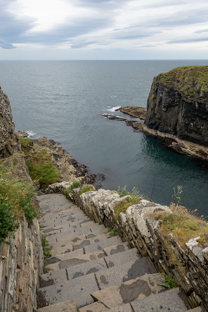
The Whaligoe steps were built in 1792 to give access to Whaligoe Haven--some 330 steps down the cliff to the cove.
 |
| The steps are being gradually repaired and rebuilt. This section has been mended. |
 |
| This is what less recently maintained sections looked like. |
Once we started on, we could look back at the steps.
 |
| There were buildings down there, too, possibly for the gutting and preparing of fish, or storing gear. |
 |
| Fortunately, in this place you could--and I did--walk farther back from the edge. In other places it was harder. |
 |
| We also encountered some large patches of gorse. That stuff is fierce! |
 |
| Rocks, lichen, and small flowers contribute to the stark beauty of the coast. |
In the afternoon, we began to understand what the coastal wind could really mean. At times it frightened me, and at one point I had to crawl to make headway against it. This wind continued for most of the rest of the trip, and I did a number of extra fence crossings to hike farther from the cliff edge and the danger of gusts knocking me over.
 |
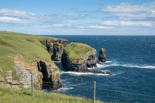
| You can see here that the wind is kicking up serious whitecaps on the sea. You can also see that we have moved inside the fence, regardless of where the trail officially runs. |
 |
| Blowing my hair back! I couldn't wear my hat because of the high winds, even with the chinstrap. |
A couple of beautiful waterfalls kept us on the trail for a while longer (well, that and not having an exit point handy).
Soon after, however, we decided that the conditions were just too miserable, and finding a farm lane that would lead us into town faster and away from the coast (wind speeds were probably 10 mph higher in that narrow band at the clifftop where the trail ran than a quarter mile inland), we bailed, skipping the final bluff and another descent to Lybster Harbour, where we had already been.
 |
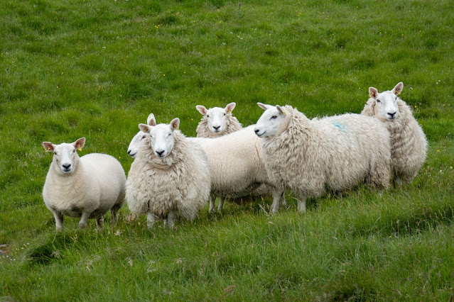
| The only witnesses to our retreat! |
Now that we understood the demands of the trail, together with the impact of the weather, we really understood what we'd taken on!
Up next: more of the coast, with some cool ruins.


These are some really nice photos of the trip. I look forward to the remaining posts about the trip.
ReplyDelete